Locations
TRACE: Tracing evolutionary pathways in grassroots climate governance
Forest conservation in Thai-Myanmar border
For indigenous Karen communities of Kawthoolei, located in Burma/Myanmar, sustainable use and effective management of their forests are intrinsically rooted in their Kaw governance practices. For them, Kaw refers to a plurality of customary land tenure systems - founded upon Karen traditional ecological knowledge and cultural heritage - that encompass integrated and holistic territorial, environmental, and sociocultural governance systems.
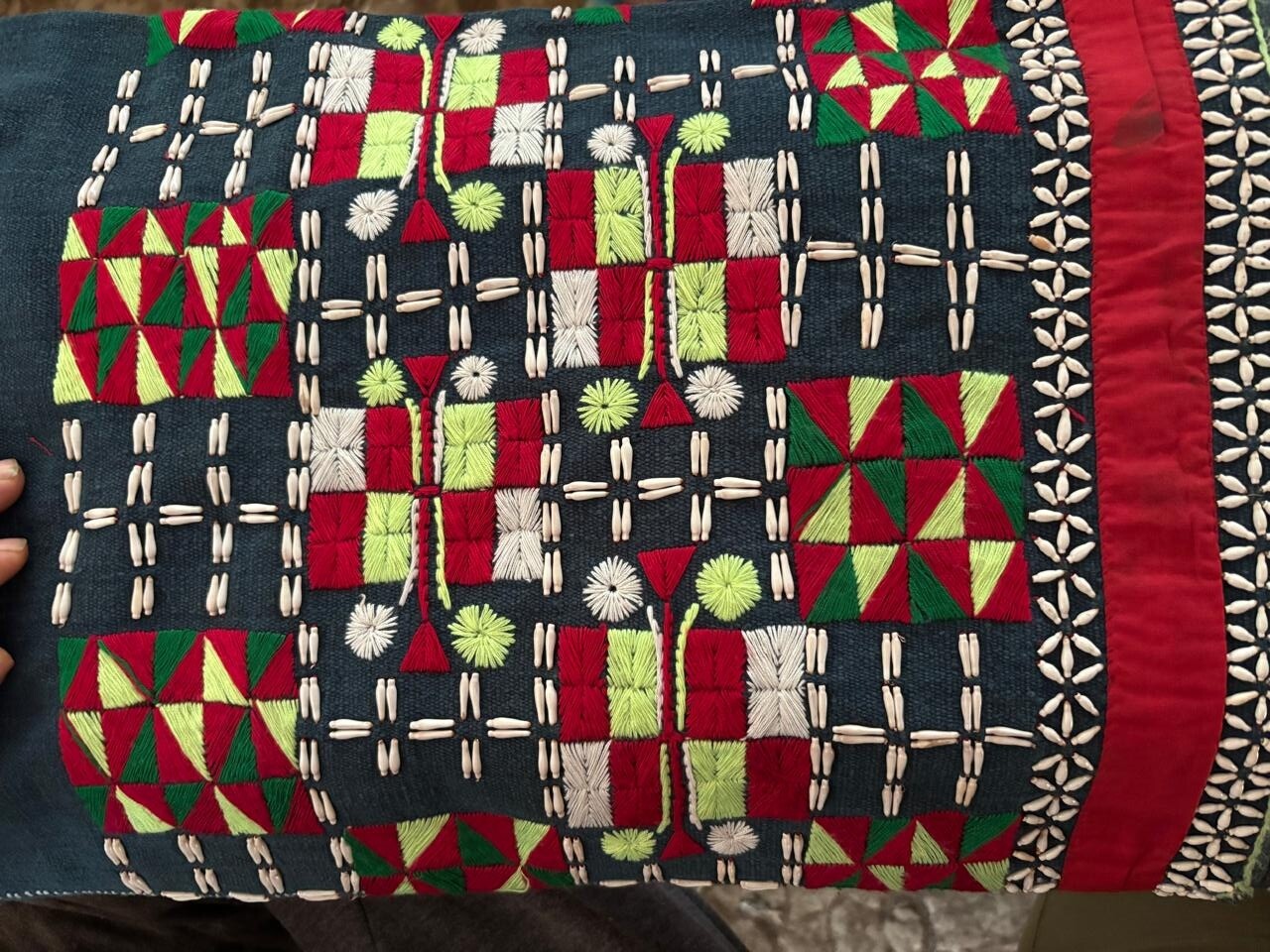
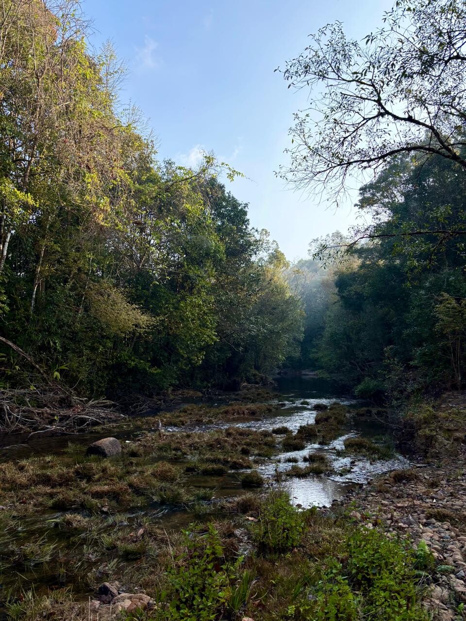
Kaw, while differing in size and ecosystems dependent on geography, commonly include lowland paddy farms, upland Ku rotational farms, agroforestry and orchards, fish conservation areas, watersheds, community forests, and other sacred and spiritual territories. At their core, Kaw act as biocultural knowledge repositories where Karen people preserve and sustain their deep understanding of their indigenous worldview. Relatedly, for Karen communities forests hold deep and multifarious roles, providing sustenance, energy, construction materials, and medicines, while also playing an integral part of Karen peoples’ way of life, spiritual beliefs and cultural identity. Throughout the generations, Karen peoples and forests have co-existed by taking care of each other through reciprocal means. In the face of the challenges brought about by climate change and militarization of Burma/Myanmar’s forest landscapes the forests stewarded and conserved by Karen communities have been one of their greatest allies.
Project Summary
Indigenous Karen peoples in Burma/Myanmar have faced almost eight decades of state repression, armed conflict, dispossession, and prolonged displacement. Through successive regimes’ political agendas of militarization, development aggression, territorialization, and the imposition of discriminatory policies and laws, Karen territories - rich in natural resources – have been prime targets for land grabbing and resource extraction. These have been driven by ecologically destructive development activities including mining, logging, dam construction, agribusiness, and road construction. In other instances, Karen territories have subject to green grabbing through state-driven and internationally sponsored fortress conservation projects. In addition to experiencing decades of political chaos, Burma is one of the most vulnerable countries to climate sensitivity.
The initiative of indigenous conserved territory such as the Salween Peace Park in Mutraw District (Papun) in Kawthoolei, Burma/Myanmar is a counternarrative to the repressive, violent, dominant, and exploitative governance systems that have led to the current ecological catastrophes, pollution, and climate crisis that our world is facing. The SPP demonstrates an effective model of grassroots climate governance that is rooted in practical, bottom-up, and inclusive approaches.
In collaboration with local institutional partners such as the Karen Environmental and Social Action Network (KESAN) and Salween Peace Park (SPP), the TRACE project aims to explore the close interlinkages between Indigenous Karen communities’ customary land tenure systems (Kaw) and the evolution of place-based knowledge in forest conservation amidst climate change and armed conflict. It focuses on grassroots adaptation strategies, in particular how local communities identify and/or adjust traditional/natural indicators for climate adaptation.
Research Area
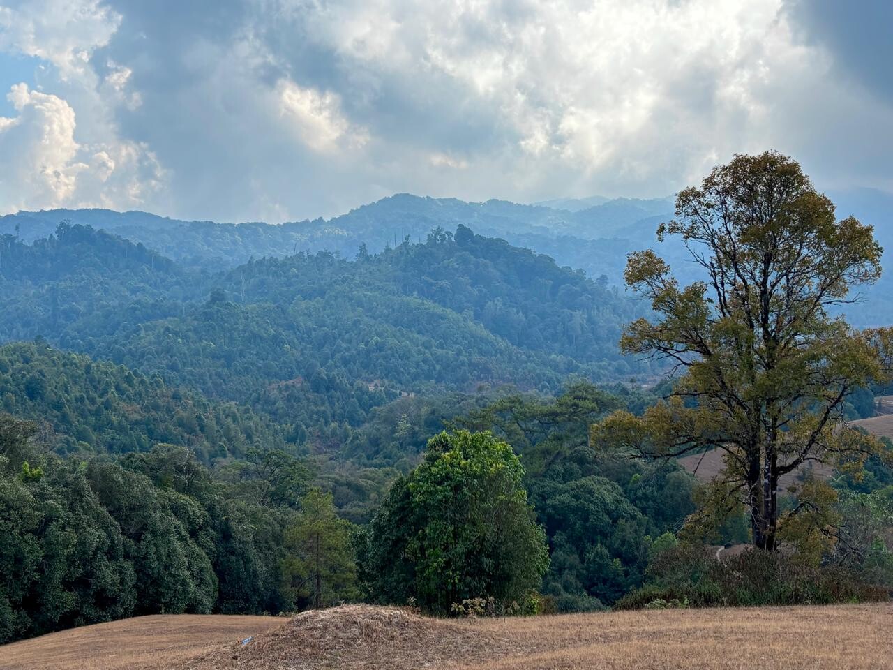
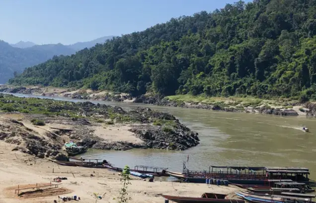
Officially declared in 2018, the Salween Peace Park is the first Indigenous-conserved territory in Kawthoolei, in southeast Burma/Myanmar spanning over 6,000 square kilometers (1.6 million acres). It is a “Territory of Life” rich in abundant nature, biodiversity, and cultural heritage. As an indigenous landscape the SPP reinforces intergenerational bonds between communities who have faced regular displacement, embodies reciprocal relationships between humans and nature, safeguards traditional and cultural heritage and identity, acts as a repository for ancestral memory, and sustains local history.